 800-4-SEATOW
 Service Locator
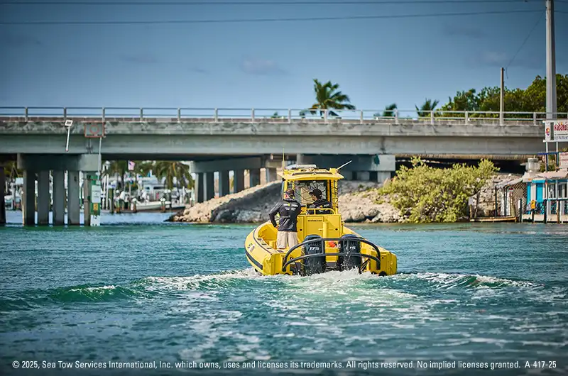
The Intracoastal Waterway (ICW) is America’s sheltered “blue‑highway.” Stretching about 3,000 miles from Massachusetts to Texas, it lets workboats and weekend cruisers move along the Atlantic and Gulf coasts without the risks of open‑ocean seas.
Built and still maintained by the U.S. Army Corps of Engineers, the ICW is free to use, deep enough for most small‑draft craft, and busy with both barge tows and thousands of migrating “snowbird” boaters every year.
Why this watery highway matters
Historically, this sheltered route has saved lives, fuel, and money. During both World Wars, coastal shippers shifted inside the ICW to dodge submarine threats.
Today, the waterway still carries important cargo like petroleum, chemicals, grain, and construction materials. It does this at much lower costs than highways or railroads. America’s inland and intracoastal system moves nearly 830 million tons of goods each year. The Corps powers this with its 25,000-mile navigation network. Moving one ton of cargo by barge can go 616 miles on a single gallon of fuel, four times the distance a truck manages.
On the recreational boating side, NOAA tracks “thousands of boats every season” making the north‑south migration — a movement that brings marinas, repair yards, and waterfront towns a welcome economic jolt.
A route carved from rivers and canals
Gallatin’s 1808 vision of a protected inside passage took a century to gain speed, but by 1949 the last major Gulf link opened, making the ICW continuous.
- Atlantic ICW: Portsmouth, VA (mile 0) to Key West, FL – about 1,200 statute miles.
- Gulf ICW: Carrabelle, FL to Brownsville, TX – roughly 1,100 miles, plus Florida’s Okeechobee Waterway shortcut.
Cape Cod Canal, the Albemarle‑Chesapeake route, Florida’s Indian River Lagoon, and Louisiana’s vast bayous – all play their part. Where nature didn’t cooperate, engineers dug narrow “cuts” that boaters still nickname “The Ditch.”
Typical dimensions
Most of the modern channel is 12 ft deep and 90 to 150 ft wide in land cuts, leaving plenty of room for barges lashed three‑wide or cruisers under 50 ft. A few historic stretches – like the scenic Dismal Swamp Canal are shallow to about 6 ft controlling depth.
Ecosystems worth protecting
The ICW isn’t just a highway: it threads through barrier‑island marshes, sea‑grass lagoons, and bird flyways that support red drum, shrimp, oysters, and millions of migratory shorebirds. Corps dredging projects are now paired with beneficial‑use programs that place clean sand on eroding beaches and build new marsh islands.
How the ICW works every day
Navigation aids you’ll see
- Red‑right‑return rules still apply, but ICW markers carry extra yellow symbols to help guide you. When heading clockwise (i.e., from New Jersey towards Texas), a yellow triangle should stay on your starboard side, and yellow square on your port side.
- On NOAA charts the route shows up as the “magenta line,” recently redrawn after shoaling reports.
Planning your ICW adventure
When to Cruise the Intracoastal Waterway
Most cruisers leave New England after hurricane season, hopscotch south with the falling leaves, and aim to cross into Florida by December. Spring brings the reverse migration.
Bridge clearances & opening schedules
Fixed spans vary from 55 ft (common on the Atlantic leg) to 65 ft (standard on the Gulf side). Swing and bascule bridges have posted opening times – miss the window and you’ll be stuck waiting.
Fuel & service stops
Towns are often referred to by ICW mile markers – for example, “Beaufort, NC at MM 204.” Marinas publish depth at mean low water (MLW), but stay aware: shoaling can reduce depth, especially in older basins.
How to safely pass the ICW
Check your boat’s draft and air draft
Know the deepest part of your hull and the highest point of your rig. Compare both to the ICW’s controlling depths and lowest fixed bridge heights on your chosen leg.
Plot daily runs on updated NOAA charts
Use the latest electronic or paper charts that include the redrawn magenta line, and cross‑reference crowd‑sourced notes for local shoals.
Mind the tides and currents
Although sheltered, portions of the ICW – especially in Georgia and the Carolinas – see 6‑to‑9‑foot tidal ranges and swift cross‑currents near inlets. Plan to ride fair currents when possible.
Keep a flexible float plan
Mechanical hiccups, dredging delays, or a closed swing bridge can cost hours. Build slack into each day and share your float plan with a shore contact.
Have an on-water assistance membership
Even experienced boaters run aground or run out of fuel. That’s why Sea Tow® is standing by 24/7 ready to assist. With membership, you get a direct connection to professional Captains who have the local knowledge to help you get back underway.
Ready to cast off?
Whether you’re pushing a petroleum barge, chasing redfish flats, or plotting a bucket‑list Great Loop, the Intracoastal Waterway delivers a safer, smoother ride than the open Atlantic or Gulf.

Sea Tow Team
Sea Tow has been the premier leader in on-water boating assistance since 1983. We want to share news, press, tips and all things boating.